
 Capture California, the Game-2012
Adventure: 008, Hike 061 –
Shadowbrook Trail
Team: Thing One, Thing Two
Date: August 24, 2012
Location: Big Basin Redwood State
Park
Hike Info:
Trail: Shadowbrook Trail – From
Slippery Rock to Sempervirens Campground
Distance: 2.1
Duration: 1:07
Elevation Rise: 254'


Team Thing One and Thing Two did the Sequoia Trail Loop which connects, in our case, three trails together: The Sequoia Trail, Shadowbrook Trail and we mistakenly took the East RidgeTrail to get back to the Park Headquarters. This description is for the Shadowbrook Trail.
 Around Slippery
Rock and the Founders Monument, the Sequioa Trail heads off towards
the Skyline to the Sea Trail. But it is also the start of the
Shadowbrook Trail. Just beyond Slippery Rock, is the Founders
Monument. In 1900 San Jose artist Andrew Hill took a group of local
influential men to this place and here the Sempervirens Fund
was created, which eventually led to the creation of Big Basin State
Park and the entire California State Park system. They camped
at Slippery Rock and would go to the Sempervirens Falls to admire its
beauty. Slippery Rock is about 200 yards long and rests at a 30
degree angle.
Around Slippery
Rock and the Founders Monument, the Sequioa Trail heads off towards
the Skyline to the Sea Trail. But it is also the start of the
Shadowbrook Trail. Just beyond Slippery Rock, is the Founders
Monument. In 1900 San Jose artist Andrew Hill took a group of local
influential men to this place and here the Sempervirens Fund
was created, which eventually led to the creation of Big Basin State
Park and the entire California State Park system. They camped
at Slippery Rock and would go to the Sempervirens Falls to admire its
beauty. Slippery Rock is about 200 yards long and rests at a 30
degree angle.
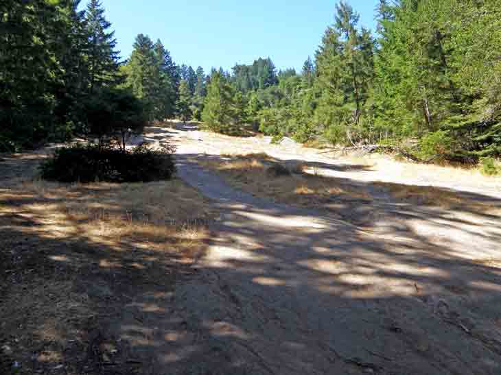
 We continue north
and eastward along the Shadowbrook Trail, for a short distance, it
then crosses the road and starts climbing up toward Sky Meadow Group
Campground. The trail is also the path for the sewer. This is the
literal high point of the loop we are doing. The trail then starts a
steep descent into Union Creek—it is much better to do this loop
clock-wise as the climb is more gradual. But either way, hiking among
the old growth redwood forest is wondering. The afternoon light is
filtered through the tree branches onto the greenery surrounding the
trail. Once we make it down to the creek, it weaves it way under logs
and bush to re-appear. We pass by named redwood groves. We make it
past a couple campgrounds exits, including Sempervirens Campground
and the Bob Kirch Trail. This last one is a couple hundred yard trail
back to the Sequoia Trail. The first is about a third of a mile down
and would lead us around to the use trail back to park headquarters.
But continue on for the next adventure to see what happened.
We continue north
and eastward along the Shadowbrook Trail, for a short distance, it
then crosses the road and starts climbing up toward Sky Meadow Group
Campground. The trail is also the path for the sewer. This is the
literal high point of the loop we are doing. The trail then starts a
steep descent into Union Creek—it is much better to do this loop
clock-wise as the climb is more gradual. But either way, hiking among
the old growth redwood forest is wondering. The afternoon light is
filtered through the tree branches onto the greenery surrounding the
trail. Once we make it down to the creek, it weaves it way under logs
and bush to re-appear. We pass by named redwood groves. We make it
past a couple campgrounds exits, including Sempervirens Campground
and the Bob Kirch Trail. This last one is a couple hundred yard trail
back to the Sequoia Trail. The first is about a third of a mile down
and would lead us around to the use trail back to park headquarters.
But continue on for the next adventure to see what happened.


No comments:
Post a Comment