

 Adventure: 051, Site 041 –
Morro Rock
Adventure: 051, Site 041 –
Morro Rock
California Landmark Number: 821
Team: Thing One, Thing Two
Date: September 18, 2012
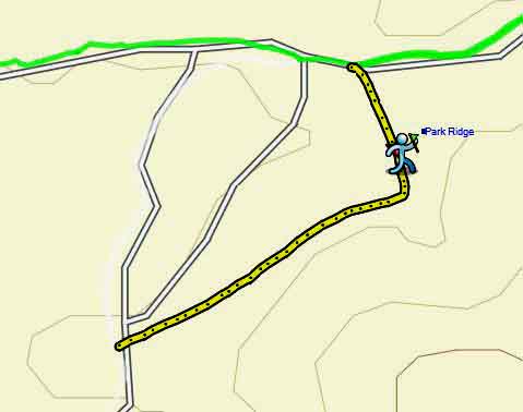
Location:
Latitude:
35° 22.232′ N
Longitude:
120° 51.899′ W
Address: North of Morro Bay, at the end of Embarcadero St
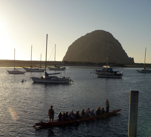
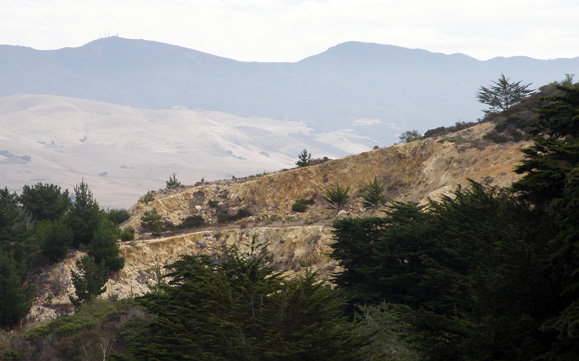
Morro Rock is one of the nine morro's surrounding the San Luis Obispo/Morro Bay area. These morro's are remnants of early volcanic activity. The effect is that you feel surrounded by mountains in this area. Morro Rock is just the most pronounced, being by the ocean.
NO. 821 MORRO ROCK - An important mariner's navigational landfall for over three hundred years, Morro Reef was chronicled in the diaries of Portolá, Fr. Crespí, and Costanso in 1769, when they camped near this area on their trek to find Monterey. Sometimes called the 'Gibraltar of the Pacific,' it is the last
Location: Located in city park, foot of Morro Rock, on Embarcadero Rd, 0.4 mi NW of Morro Bay
• In 1542, Juan Rodriguez Cabrillo, the Portugese explorer, sighted and named Morro Rock.
• In 1769, Gaspar de Portola, Father Juan Crespi, and some sixty other men and one hundred mules marched north on an overland expedition from San Diego, to find Monterey Bay, camping at one point near Morro Rock.
• The Rock was quarried periodically from 1889 to 1963. In 1966 the State of California obtained title to it, and in 1968 was declared a state landmark, and Morro Rock is now a nature preserve.
References:
Overall Landmark References:
- David Schmitt's California
State Historical Landmark (Schmitt)
- Wikipedia: California's
National Landmarks (WCNL)
- State of California's California
Historical Landmarks (CHL)
- Wikipedia: California
State Landmarks (WCSL)
- State of California Historical
Resources (CHR)
- National
Registry of Historical Places (NRHP)


